UN
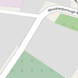
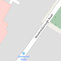
18 Woodnesborough Road
£ 249,995
Description
We don't have a Description for this property.
- Bedrooms
- 2
- Bathrooms
- 0


Leaflet © OpenStreetMap contributors
The heatmap indicates the level of crime in the area. The color of the heatmap indicates the crime severity and recency.
Metrics Year-on-Year
- Average area value
- 730,000.00 £Increased by 46.62 %
- Average area rental value
- 735.00 £/moDecreased by 40.63 %
- Est rental Yield
- 1.21 %Decreased by 59.40 %
- Crime Rate
- 17.00 %Unchanged by 0.00 %
from 497,898.00 £
from 1,238.00 £/mo
from 2.98 %
from 17.00 %
Nearby Schools
| Name | Type | Ofsted | Distance |
|---|---|---|---|
| Sandwich Infant School | Academy Converter | 0.51 KM | |
| Sandwich Junior School | Community School | Outstanding | 0.60 KM |
| Sandwich Technology School | Academy Converter | Good | 0.96 KM |
| Sir Roger Manwood'S School | Academy Converter | Outstanding | 1.28 KM |
| Worth Primary School | Academy Converter | 2.49 KM |
Images
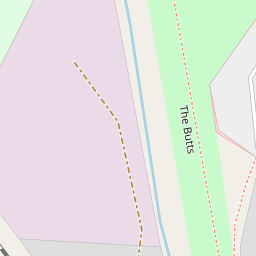
Nearby Streets
| Name | Average Price | Average Sqft | Distance |
|---|---|---|---|
| The Butts | £ 465,000 | 0 | 0.00 KM |
| Church Street St. Marys | £ 0 | 0 | 0.00 KM |
| Pillory Gate | £ 0 | 0 | 0.00 KM |
| Church Street St. Clements | £ 495,000 | 0 | 0.00 KM |
| Alliss Gardens | £ 458,750 | 0 | 0.00 KM |
Nearby Transport
| Name | NLC | TLC | Distance |
|---|---|---|---|
| Sandwich | 5026 | SDW | 1.05 KM |
| Minster | 5019 | MSR | 6.45 KM |
| Deal | 5011 | DEA | 9.13 KM |
| Walmer | 5041 | WAM | 9.52 KM |
Nearby Listings
| Address | Price | Type | Score | Distance |
|---|---|---|---|---|
| Woodnesborough Road, Sandwich | £ 300,000 | BUY | Unknown | 0.01 KM |
| Woodnesborough Road, Sandwich | £ 325,000 | BUY | 7 / 10 | 0.06 KM |
| Woodnesborough Road, Sandwich, Kent, CT13 | £ 330,000 | BUY | 7 / 10 | 0.16 KM |
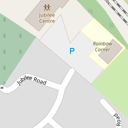
| Jubilee Road, Sandwich | £ 195,000 | BUY | Unknown | 0.21 KM |
| Brightlingsea Road, Sandwich | £ 275,000 | BUY | 6 / 10 | 0.26 KM |
Nearby Properties
| Address | Price | Distance |
|---|---|---|
| 15 Woodnesborough Road | £ 420,000 | 0.00 KM |
| 25 Woodnesborough Road | £ 94,000 | 0.00 KM |
| 23 Woodnesborough Road | £ 239,000 | 0.00 KM |
| 14 Woodnesborough Road | £ 242,500 | 0.00 KM |
| 18 Woodnesborough Road | £ 249,995 | 0.00 KM |